
Trace a Northampton Township Street
Begin a street-by-street search with a known house number and street name, not a surname. The Bucks County tax screen is the practical first stop because it accepts a Location Address and can be narrowed to Northampton Township through its municipality selector. A returned record can supply the parcel number, location address, owner field, and a separate mailing field. Keep those facts apart. The location, often called the situs, identifies the parcel. The owner field identifies the assessment-record name. A mailing address only identifies where tax correspondence is sent.
- Enter the house number and street in the Bucks County Tax Information Location Address field. Select Northampton Township as the municipality when that option fits the property.
- Write down the matching parcel number, situs address, and the owner and mailing fields exactly as displayed. Check the municipality before treating the result as a Township parcel.
- Use the owner name, parcel, legal description, and an approximate date in the Recorder's LANDEX path. The recorded deed chain is a property trail, not a list of current occupants.
- For election records, keep the personal status check separate from Pennsylvania's controlled voter-list request route. The online status form does not browse a street, and any list request has statutory certification and use limits.
- For a historical address, ask the Township Archives to search maps, historic-property files, village names, and any cataloged reverse or criss-cross material. No verified Township-wide reverse-directory run was located.
The Pennsylvania voter-status route is not a street browser. The separate controlled voter-list channel has its own request and certification rules, so a tax or parcel search cannot be expanded into a public household list through the personal status form.
Note: Keep a search date and the source beside each address result, since parcel fields, postal labels, and recorded ownership can change independently.
Northampton Township Tax Search Fields
The Bucks County Tax Information search provides several ways into an address record. Its visible form distinguishes the property information from owner information. That distinction matters for any Northampton Township street directory work. A parcel number is a land identifier and must include its dashes. A Location Address is the better starting field for a known address. A ZIP or mailing city can narrow a tax-system query, but neither one defines township geography or proves that mail is delivered to the parcel.
| Field on the tax screen | Entry type | Street-search use | Limit to remember |
|---|---|---|---|
| Parcel Number | Text | Direct parcel lookup | Use all dashes; do not combine with the name/address route |
| Location Address | Text | House number and street first | It is a parcel location, not a household roster |
| Municipality | Dropdown | Choose Northampton Township when appropriate | A postal city can differ from the municipality |
| School District | Dropdown | Additional geographic narrowing | It does not establish street residency |
| Name | Text | Owner-name alternative, last name first accepted | Use only after separating the address record from the person |
| Mailing Address, City, ZIP | Text | Tax-correspondence filters | These fields are distinct from the situs |
The successful capture of the property and tax search shows the address, parcel, municipality, owner, mailing-city, and ZIP routes available on the form.
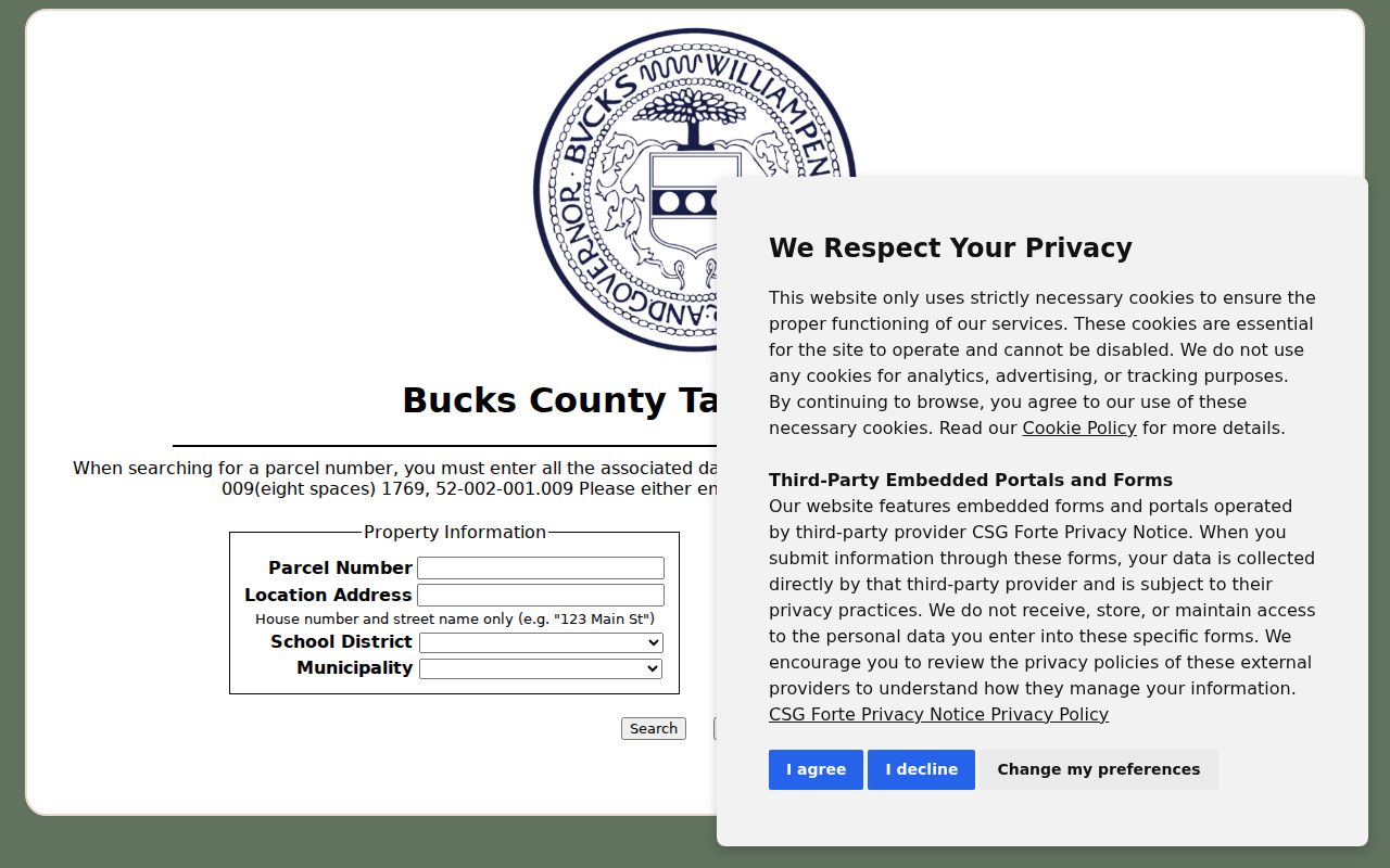
Use the returned parcel number as the connection to later Recorder and map research, while leaving the owner, situs, and mailing information in separate notes.
Northampton Township Street Records
Several address-keyed sources can answer different parts of a Northampton Township street question. The assessment and tax record offers the current parcel context. The County map establishes parcel geography. Recorder instruments document recorded transfers. Township files can hold a specific public permit or planning record when it exists. Each source has a different keeper, access route, and limit, so a street directory result is strongest when it identifies which record supplied which fact.
| Address-keyed source | Record custodian | Useful street fact | Access and limit |
|---|---|---|---|
| Tax and property search | Bucks County tax and assessment systems | Parcel, situs, owner field, mailing field, assessment context | Online form; a mailing field is not occupancy evidence |
| Assessment and tax maps | Bucks Board of Assessment | Parcel configuration and map stewardship | Questions about a card or map go to 215-348-6219 |
| Parcel and Floodplain Viewer | Bucks County GIS | Parcel shapes, address, municipal and zoning context | Public viewer; map findings need tax or Recorder confirmation |
| Deed and mortgage index | Bucks County Recorder of Deeds | Recorded parties, chronology, legal-description lead | LANDEX remote access is paid; the public research area is a fallback |
| Election records | Bucks Board of Elections and Pennsylvania voter systems | Individual status or a controlled statutory list-request channel | No online street browse; protected records and certification rules apply |
| Township permit or planning record | Northampton Township | Existing public address-specific filing or decision | No public searchable permit index was verified; use a targeted RTKL request |
| Historic property file or map | Northampton Township Archives | Older place context, maps, images, and property material | Catalog and research session; coverage depends on the collection |
A parcel number is the reliable bridge. County recording requirements call for that number on real-estate documents, while the legal description continues to identify the land when a road name or street number changes. The property-owner field alone does not establish that every person at the address is named in a public record.
Northampton Township Parcel Deed Trail
The Bucks County Property Records route leads to LANDEX, the Recorder's paid remote research service for records from 1684 to the present. A public research area is available when online access is not enough; staff may provide a short tutorial but do not conduct title or historical research. Start from the current parcel, legal description, owner name, and a reasonable transfer period. That prevents a common street-search mistake: assuming a road name by itself will hold the whole history together.
- Parcel
- A county identifier for a piece of land. It is the best link between the tax record, map, and recorded document.
- Situs address
- The physical location of the parcel. It is not the same as an owner's mailing address.
- Plat
- A recorded plan that depicts lots or a subdivision. It can help explain parcel layout but does not list a household.
- Legal description
- The lot, block, subdivision, or metes-and-bounds language that identifies land through address changes.
- Criss-cross directory
- A reverse-style historical directory that may organize an entry by address; no verified local run is presently documented.
Recorder indexes call a seller or borrower a DIRECT PARTY and a buyer or lender an INDIRECT PARTY. Search a current owner as an INDIRECT PARTY near the acquisition date, capture the seller, and then search that seller as an earlier INDIRECT PARTY. Older books are organized in historical periods and are not always in strict phone-book order. Since July 2012, new recordings use an instrument number rather than a new book-and-page reference.
Northampton Township GIS Street View
The Bucks County Parcel & Floodplain Viewer is useful for reading a street segment as mapped geography. Its documented search routes are address, parcel number, and municipal zoning. Owner-name searching is disabled for privacy. Once the target parcel is located, pan along the frontage and select nearby polygons. The map's Query Parcels tool accepts a parcel number, and its parcel-buffer option begins with a 100-foot default buffer for point, line, or extent geometry.
Map fields include parcel number, address, municipality, deed area, owner fields, care-of field, land and building values, land-use code, and modification date. The visible parcel boundary supports an adjacency finding. It does not establish personal relationships, full occupancy, or a live ownership conclusion. Bring the parcel number back to the tax screen and Recorder before relying on it.
Note: Recent county work on address points and geocoding can improve a map result, but a legal description remains the safer bridge to older records.
Northampton Township Permit Records
Building, zoning, planning, and subdivision material can supply address context when a property file needs more than a parcel card. Northampton Township's Building & Codes resources include forms for building, electrical, plumbing, sewer or water, HVAC, earth disturbance, solar, roof, zoning, planning, and subdivision matters. The reviewed materials did not establish an open permit or code-case search by address. A downloadable application is not proof of an approved record or of who occupies a property.
The Township Building & Codes office is the source page for those local record categories and forms.
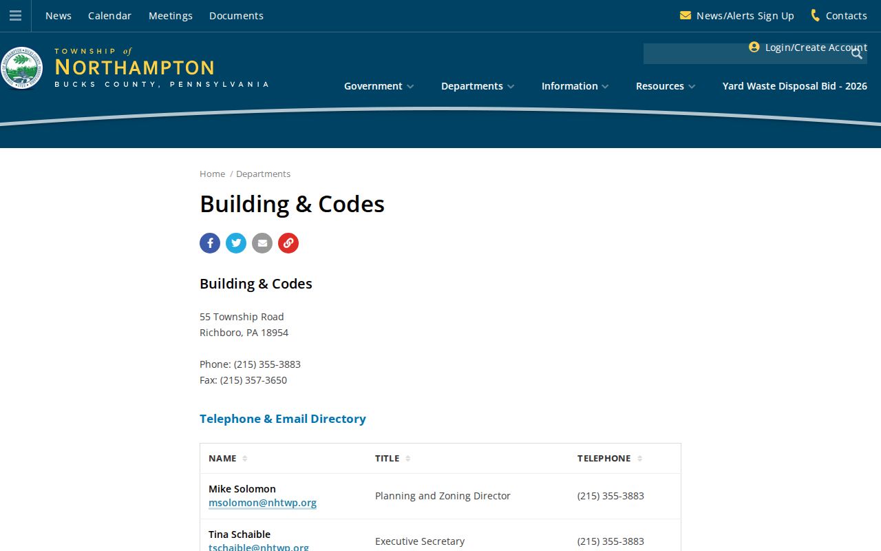
Use a specific address, record type, and date range when asking whether an existing public record is available, then expect protected or security-sensitive material to remain unavailable.
The Township documents, forms, and permits page is the related source for the available local materials.
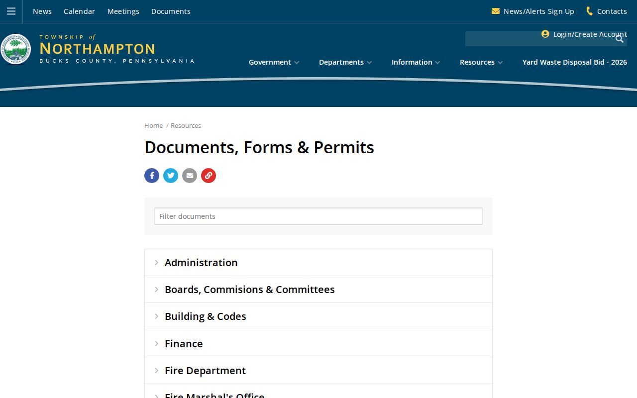
Forms make a useful record-request starting point, but the Township has not published a verified searchable index that can be treated as a complete street directory.
Northampton Township RTKL Route
For a non-posted Township record, make a precise request under Pennsylvania's Right-to-Know Law. The Township identifies Robert M. Pellegrino, Township Manager, as Open Records Officer and lists the local RTKL request route. Requests may be hand delivered, mailed, faxed, or emailed, and should identify the existing records sought, requested format, requester name, and mailing address. The local information says a request after 4:30 p.m. counts on the next business day, and the usual response period is five business days with a possible extension.
The successful capture of the Northampton Township Right-to-Know page shows the official channel used for targeted local requests.
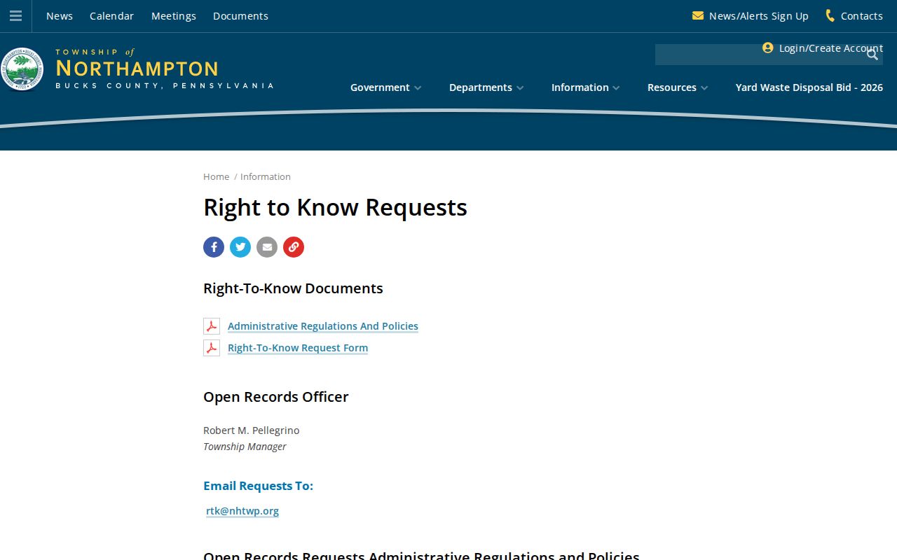
Ask for a defined permit, final inspection, zoning decision, or plan rather than asking staff to identify people. Security-sensitive floor plans and alarm information are protected, and the Township may redact other protected details.
Northampton Township Old Road Names
Street research changes character before the late 1950s. Township history describes an earlier rural and post-office-address period, so an old deed, archive item, or obituary may use a village or delivery description instead of a modern number. Search current and historic place terms together: Addisville for modern Richboro, Jacksonville for Ivyland, and Rocksville for Holland. Poorhouse Road is the documented earlier name for Almshouse Road until the 1950s.
This is a records-geography issue, not a small spelling detail. The Northampton Township Directory Book has the archive-first approach for old household material. For an address trail, preserve the parcel and legal description as the fixed terms, then add the modern street, village name, road alias, and approximate period to the archive request.
Northampton Township Postal Street Labels
Richboro, Holland, Churchville, and Ivyland are Township communities, but their postal-city labels do not always match the community term. In particular, the local 18966 material can use Holland or Churchville while USPS uses Southampton, and Township material can use Ivyland with a ZIP whose USPS postal city is Warminster. For an address search, preserve the house number and street, then add the county municipality and parcel number. A mailing city or ZIP can guide a search, but it should never displace the parcel location.
Use USPS ZIP Code Lookup to confirm one deliverable address. The result resolves mail delivery, while the Bucks tax form and parcel map resolve the local-government and land-record context.
Northampton Township Street Limits
A Northampton Township street directory can document a parcel, an assessment-record owner, a mailing destination, an instrument party, or a public address-specific file. It cannot identify every adult at an address, a utility customer, a protected voter, or a person enrolled in Pennsylvania's Address Confidentiality Program. Motor-vehicle personal information is also restricted. A nonmatch, a different mailing city, or an absent result is not proof that someone has moved or that a location is wrong.
Lawful use. Address and land records support personal, lawful research and civic curiosity. Pennsylvania law prohibits using public information to stalk, harass, intimidate, or harm another person.
A street-wide voter list is not available through the individual registration-status page. The controlled election-file channel, access protections, and statutory certification govern any permitted request. Use official custodians, retain the source date, and stop when records indicate that an address is protected or confidential.