
Northampton Township ZIP Coverage
Three documented local mailing areas recur in Northampton Township sources. They are useful starting points, but none should be treated as a formal Township boundary or an all-address resident list. The Township identifies the communities of Richboro, Holland, Churchville, and Ivyland. Postal-city wording can differ from those community names. The table records the local relationships supported by Township material and USPS context, then leaves the final answer to address-level verification.
| ZIP | Areas covered | Post office | Northampton Township note |
|---|---|---|---|
| 18954 | Richboro and the central Township mailing area | Richboro postal label | The Township Building and Free Library use Richboro 18954 addresses; verify the delivery point through USPS. |
| 18966 | Holland and Churchville Township-community labels | USPS postal city: Southampton | Township polling-place material uses Holland and Churchville with 18966, so the community and postal label differ. |
| 18974 | Ivyland Township-community addresses | USPS postal city: Warminster | Township project material uses Ivyland 18974; check each address rather than treating the ZIP as Township-only. |
No reviewed official source supplied a Township-wide USPS boundary map, a unique-ZIP or post-office-box inventory, a realignment history, or a ZIP-level population figure. That gap matters. These are local mailing areas, not claims that every address in a ZIP sits in Northampton Township.
Verify a Northampton Township ZIP
The authoritative delivery check is USPS ZIP Code Lookup. Enter the house number, street, city, and state, then keep the resulting ZIP with that exact address. This first step prevents a postal-city label from being mistaken for a government boundary. A tax-screen ZIP is a searchable field in a county record system. USPS determines the postal result for a deliverable address.
The successful USPS lookup capture shows the official starting place for a Northampton Township address verification.
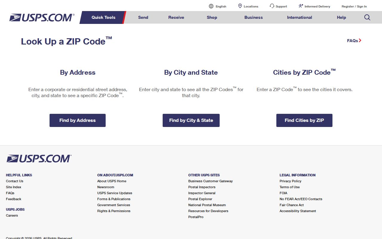
After USPS returns a ZIP, compare the address with the county municipality field and parcel record before attaching it to a Northampton Township search.
Note: A postal label routes mail, while a municipality identifies a government jurisdiction. One address can need both checks.
Northampton Township 18954 Records
Richboro is the clearest postal reference in Township materials. The Township Building and Free Library use Richboro 18954 addresses, making that ZIP a practical starting point for records that identify the central Township mailing area. The verified Richboro Post Office location is 851 Bustleton Pike. It is still important to enter the full street address in USPS Lookup because a Richboro label alone does not prove that a nearby parcel is within the Township or that a person is connected to it.
The USPS Richboro Post Office location supplies the official postal reference for this local label.
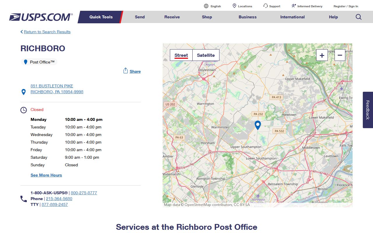
The image supports the postal reference only. Use the Tax Information screen and the Township municipality selector when the question is about a particular parcel.
Northampton Township 18966 Labels
Holland and Churchville are Northampton Township community names, yet the current USPS postal city for 18966 is Southampton. This is a useful example of records geography: a Township document can refer to Holland or Churchville while a mailed address uses a different city label. Retain the complete address, ZIP, community term, and municipality in a search note instead of treating any one label as the full answer.
The Township voting and polling-places page is a successful local source that uses community and ZIP references.
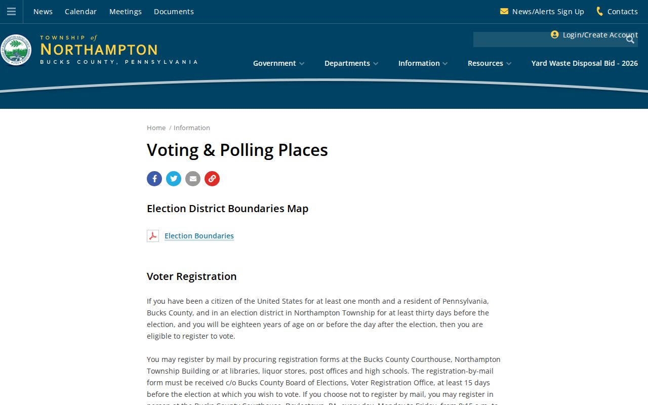
Use this kind of Township source to recognize the local community vocabulary, then let USPS confirm the address-level postal city and ZIP.
Northampton Township 18974 Labels
Ivyland appears in Township project materials with 18974, while the current USPS postal city for that ZIP is Warminster. The mismatch does not signal an error. It shows why a ZIP code directory must separate the community named in a local record from the postal city returned for mail. An address query should preserve both values, then use the municipality and parcel identifier to decide whether the property is in Northampton Township.
The Township comprehensive-plan and village source captures the local village context that can accompany an Ivyland address.
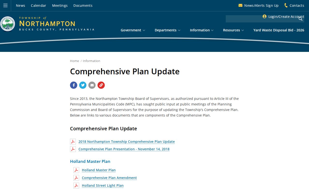
Historic research should include Ivyland as a search term, but a present postal label still needs address-by-address USPS confirmation.
Northampton Township ZIP Tax Search
The Bucks County Tax Information search accepts ZIP Code, Mailing Address, City, Municipality, Location Address, owner name, and parcel number. It can narrow a tax-system query, but the form does not say whether a ZIP represents the parcel situs or a correspondence field in every result. Begin with USPS if the delivery ZIP is uncertain, then use the county form with the Municipality selector and address or parcel to keep the search tied to Northampton Township.
| Tax-screen field | Input type | ZIP-focused use | What it cannot establish |
|---|---|---|---|
| ZIP Code | Text | Narrows a tax-system search | A complete ZIP-wide list of current residents |
| City | Text | Searches a mailing-city field | Township jurisdiction by itself |
| Municipality | Dropdown | Choose Northampton Township when appropriate | USPS delivery geography |
| Location Address | Text | Checks a known house number and street | Every person associated with that location |
| Parcel Number | Text | Connects a property record to mapped land | A current postal ZIP without USPS verification |
| Mailing Address | Text | Locates tax-correspondence data | The physical parcel location |
A returned property record should be read field by field: parcel number, location address, municipality, owner field, mailing address, city, ZIP, school district, and displayed assessed or tax context. The parcel and legal description are stronger land identifiers than a ZIP.
Find Northampton Township Records by ZIP
A ZIP code can narrow a property query, but it cannot replace the record trail. The Pennsylvania voter-status form is an individual's own status check, not a ZIP filter. The Bucks Parcel & Floodplain Viewer is map based, and its public entry does not document a ZIP filter. A Recorder deed uses a parcel and legal description, not the postal label, as the durable way to follow land. These limits make the method below more reliable than a broad ZIP-only search.
- Confirm the delivery ZIP for the full Northampton Township address through USPS Lookup.
- Enter the ZIP in Bucks County Tax Information only as a narrowing field, then use location address, municipality, or parcel number to confirm the matching record.
- Record the parcel number and situs separately from any owner mailing city and ZIP. Do not treat the mailing field as proof of occupancy.
- Use the parcel or legal description for Recorder and map work. For a named street, use the Northampton Township Street Directory approach rather than turning a ZIP filter into a street list.
- For an older address, bring the current and historic community names to the Township Archives along with the parcel or legal-description lead.
Recorder documents, historic property files and maps, and a defined Township RTKL request can all be useful later channels. None produces a general ZIP roster, and no public utility-account list or complete permit portal was verified.
Northampton Township Village ZIP Terms
Older records may resist a modern ZIP code search because street numbering and postal terminology were not always used the same way. Township history describes rural or post-office descriptions lasting until the late 1950s and a 1949 development north of Richboro as part of a newer subdivision-and-streets era. Add historic terms to an archive or Recorder search: Addisville for modern Richboro, Jacksonville for Ivyland, and Rocksville for Holland. Poorhouse Road was the earlier name for Almshouse Road until the 1950s.
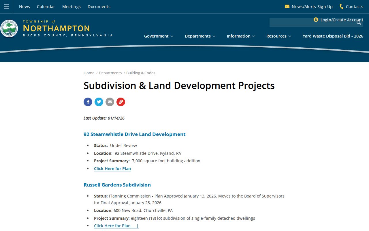
The Township subdivision and land-development projects page provides a current address-based planning source for changing parcels and plans.
For an older address, use a historic map or property file to bridge the village name and road alias before assigning a current ZIP.
Note: A present ZIP is an address-routing label, so it should not be projected backward onto a record that predates the modern street system.
Northampton Township ZIP Boundaries
Postal geography and Northampton Township limits do not have the same purpose. The Township is a governmental unit in Bucks County. Richboro, Holland, Churchville, and Ivyland are community names. USPS postal cities can be Richboro, Southampton, or Warminster for the documented local ZIPs. Until an official boundary source addresses the exact property, avoid saying that an entire ZIP falls inside the Township or that a postal city name identifies the municipal location.
- Postal ZIP and ZIP+4
- A ZIP routes mail to a delivery area. ZIP+4 adds a more precise delivery segment, not a municipal boundary.
- Post-office-box ZIP
- A ZIP used for post-office-box delivery. No official Township inventory of these ZIPs was verified in the research.
- Unique ZIP
- A ZIP assigned for a single organization or destination. No verified Northampton Township unique-ZIP inventory was located.
- Carrier route
- A mail-delivery grouping used by postal operations. It is not a public record of everyone at the addresses on that route.
Boundary check. Use USPS for delivery, the Bucks municipality and parcel fields for local jurisdiction, and the legal description for the land record itself.
When the postal result and parcel record point in different directions, record both rather than forcing a match. Check the house number and street again, confirm the County municipality selection, and use the parcel number for the land trail. For historic research, also test the old community and road names through the Township Archives. The reviewed research found no official basis for converting a ZIP result into a Township-wide list of people or a precise municipal boundary.