
Northampton Township Neighbors by Parcel
Public records can describe the lots around a Northampton Township address, but they do not create a roster of every person on a block. The parcel map establishes geometry. The tax screen returns a property record for one parcel. Recorder records add a dated land-document history. Archive resources can add older maps or property context. The most reliable neighborhood work keeps those layers separate and uses each source only for what it can establish.
| Source | What It Shows About a Block | Access |
|---|---|---|
| Bucks County Parcels GIS | Parcel polygons, street context, and adjoining-lot geometry | Public map; verify a parcel against assessment or Recorder data |
| Bucks County Tax Information | One parcel’s address, owner, and separate mailing fields | Address, parcel, name, and ZIP search; owner is not every resident |
| Recorder of Deeds / LANDEX | Recorded parties and dated instruments for a confirmed parcel | Paid remote channel or public research room; not an occupancy list |
| Bucks Elections and state voter systems | Personal registration status and a controlled voter-file request route | No online street browsing; certification and confidentiality rules apply |
| Township Archives | Historic maps, property files, photographs, and local context | Catalog or research session; collection coverage varies |
For Northampton Township neighbors, an owner field means the tax or assessment record names that owner. It does not identify every occupant, renter, adult household member, utility account holder, delivery customer, or protected participant. A mailing address can be different from the parcel’s physical address. Record only the displayed field and the date it was checked.
Map a Northampton Township Block
Use the official Bucks County Parcel & Floodplain Viewer to search by address, parcel number, or municipal zoning. Owner-name searching is disabled for privacy. The map is the starting point for Northampton Township neighbors because it shows the relation of nearby parcel polygons, not because it names a complete household. Select the target parcel, pan along its frontage, and note only the touching or nearby lots that matter to the question.
- Find the target address in the parcel viewer and save the target parcel number, municipality, and situs as shown.
- Identify adjacent polygons by their shared boundary or close geography. The map supports parcel queries and a parcel-buffer search.
- Run a separate Bucks County Tax Information search for each confirmed parcel. Keep the owner, mailing, and situs fields distinct.
- Use a recorded deed only after parcel confirmation. If the question expands to the full named street, use the Northampton Township street directory workflow.
This process is address → target parcel → adjacent parcel → individual property record → recorded instrument if needed. It does not justify a claim that nearby owners are current neighbors in a personal or social sense.
Northampton Township Parcel Buffer Search
The GIS viewer’s Query Parcels tool accepts a parcel number, and Search by Parcel Buffer can use point, line, or extent geometry with a 100-foot default buffer. That makes it useful for identifying a small ring of Northampton Township parcels around a point, but the buffer is a geographic tool, not a person search. The map’s identified fields include parcel number, address, municipality, owner fields, care-of field, land and building value, total value, land-use code, and modification date.
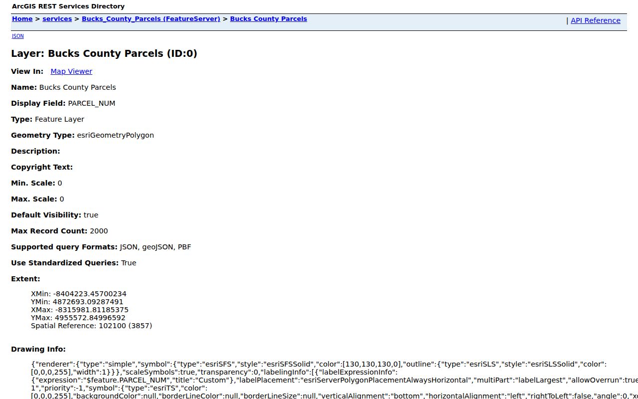
The official Bucks County Parcels GIS service is the source represented in this image.
Return every map result to the tax screen or Recorder before relying on it. Parcel boundaries can be current while the associated record needs a separate source-date check. A map result never supplies private household membership.
Note: Northampton Township parcel geometry establishes proximity, while the property record and dated deed supply separate, limited facts about a particular lot.
Northampton Township Neighbor Record Fields
The Bucks County Tax Information screen accepts parcel number, location address, school district, municipality, name, mailing address, city, and ZIP fields. For a block question, search an address or parcel, not a broad surname. Select Northampton Township as the municipality where appropriate, enter the house number and street in Location Address, then compare the returned parcel with the map. The owner and mailing fields belong to the property record and should not be relabeled as residents.
A parcel has three useful but different descriptions: its situs or location address, its tax mailing address, and its legal description. The legal description is the land identity that can carry through address changes. The Recorder’s LANDEX index uses party names and approximate years, with direct party for a seller or borrower and indirect party for a buyer or lender. A recorded deed proves a transaction and date, not current occupancy.
The Bucks County Recorder property-records route documents access from 1684 to the present. Remote LANDEX research is paid, while the Recorder maintains a public research area. Staff may explain how the system works or offer a brief tutorial, but they do not perform title or historic research. When a current parcel search does not explain an older block, retain the parcel and legal description, search both party roles in an approximate year window, and ask the Township Archives about maps or historic property files.
Northampton Township Voter Boundaries
The Pennsylvania voter-status page is a person’s own registration-status check, not a tool for browsing a Northampton Township block. The Bucks County Board of Elections maintains registration files and is the county contact for official election records. A controlled voter-list request has a certification and use limits under Pennsylvania election law. It must not be used to construct or distribute a neighborhood list.
The Bucks County Board of Elections is the source of the office information shown here.
Registration participation does not reveal ballot choices. A nonmatch does not establish where somebody lives. Address Confidentiality Program participants have protected residential information, and no map or voter field should be used to infer it.
Northampton Township Community Resources
There is no verified public township-wide HOA or neighborhood-association roster. The available community layer is made of organization contacts and archival resources, not household lists. The Free Library names the Greater BucksMont Chamber of Commerce and the Northampton Township Business & Professional Association as community organizations. Township Parks & Recreation also identifies partnerships with youth sports groups, Council Rock School District, local businesses, and township departments. Those affiliations are useful only as organization leads.
| Resource | How It Helps |
|---|---|
| Northampton Township Archives | Archive catalog and research sessions for historic maps, property files, local history, and family questions. |
| Free Library community resources | Library research and community-resource route; confirm current organization contact details directly. |
| Council Rock School District | Public staff directory for listed staff in their professional role, not a private address search. |
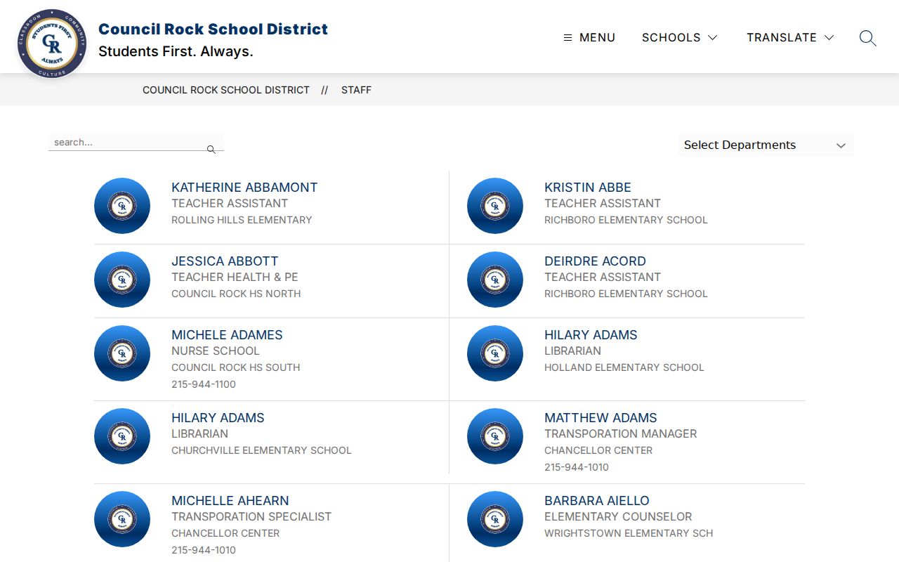
The Council Rock School District staff directory is shown in this Northampton Township neighbors image. It can identify a public staff listing, but it does not establish a private residence or a block connection.
For a historic neighborhood question, ask the Archives about property files, maps, oral histories, and the older community name. Do not infer a person’s membership, faith, family relationship, or location from an organization nearby.
Northampton Township Neighbor Geography
Northampton Township includes the community labels Richboro, Holland, Churchville, and Ivyland. Those labels can differ from a mailing-city label, so an older record can appear under a community name rather than the township. Before matching a historic block to a modern parcel, try Addisville for Richboro, Jacksonville for Ivyland, and Rocksville for Holland. Rural residents often used post-office or rural-delivery locations until the late 1950s.
Street names also matter. Almshouse Road was called Poorhouse Road until the 1950s, and postwar development added subdivisions and street-address expectations. For Northampton Township neighbors in an older record, the parcel legal description and an archive map are safer bridges than a modern house number alone.
That geography also keeps a mailing label from becoming a boundary claim. The county parcel record supplies the municipality and parcel context; an older newspaper, map, or archive file may use the community name instead. Compare both before deciding that two block references describe the same place.
Northampton Township Neighbor Tool Comparison
Official sources identify a particular record and its custodian. Commercial neighbor tools may combine records from different dates and sources, then present a single result that can be stale, merged, or incomplete. Neither kind of tool identifies protected or unrecorded household members. For a Northampton Township neighbor question, an address-first official trail gives the reader a source, date, and way to verify the record.
| Official parcel and record route | Commercial neighbor category | Practical difference |
|---|---|---|
| Map, tax record, Recorder, or archive held by a named custodian | Compiled results from mixed public and commercial inputs | The official path can be checked against its source and date |
| One parcel or docket with limited fields and privacy rules | One broad person or address result | A broad result may merge people or confuse owner, mailing, and situs data |
| Correction or copy request goes to the responsible office | Private-service dispute process | A private change does not correct the underlying county or state record |
Northampton Township Neighbor Privacy
Renters, adult household members, utility accounts, delivery records, protected voters, and Address Confidentiality Program participants are not a public block directory. Pennsylvania’s Right-to-Know exceptions also protect sensitive personal, financial, safety, victim, and other confidential information. If a public assessment or recorded document has an error, ask the office that created it about correction rather than copying the error into another search.
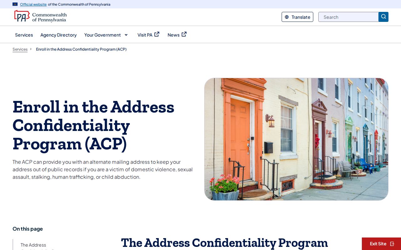
The Pennsylvania Address Confidentiality Program explains the safety purpose of a substitute address in the source shown below.
An apparent gap is not permission to reconstruct a protected location. Records should support lawful personal research and local history, not monitoring or pressure.
Lawful use. Use Northampton Township neighbor records for lawful personal research, local history, or a defined property question. Do not use information about a block to stalk, harass, intimidate, or harm any person.